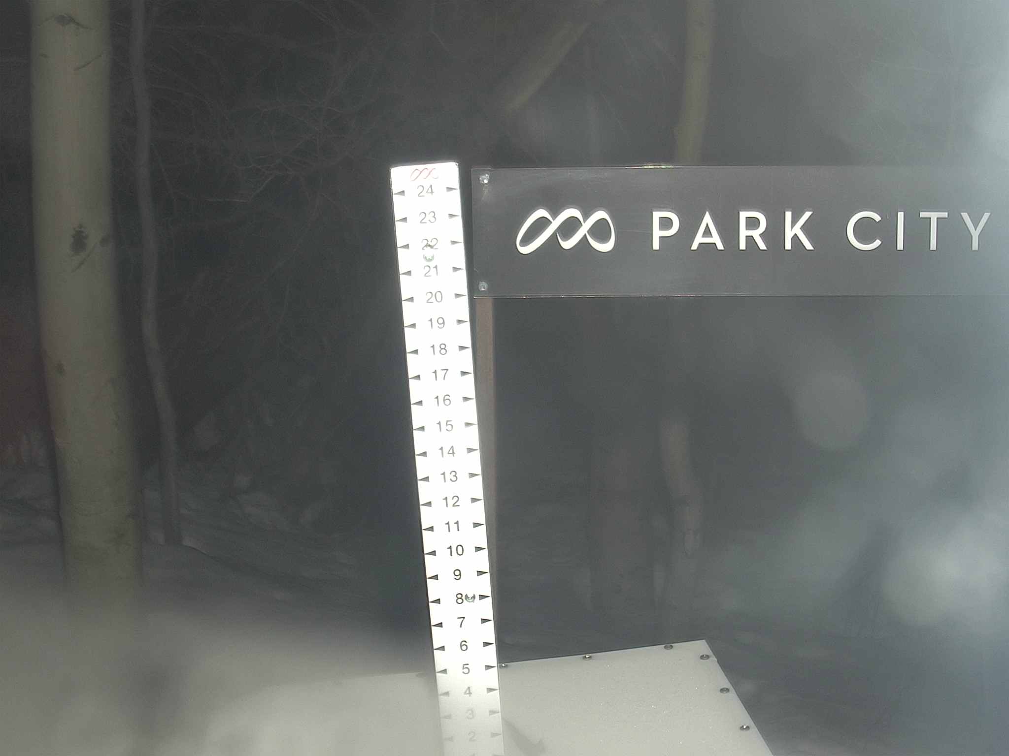
Snow Report
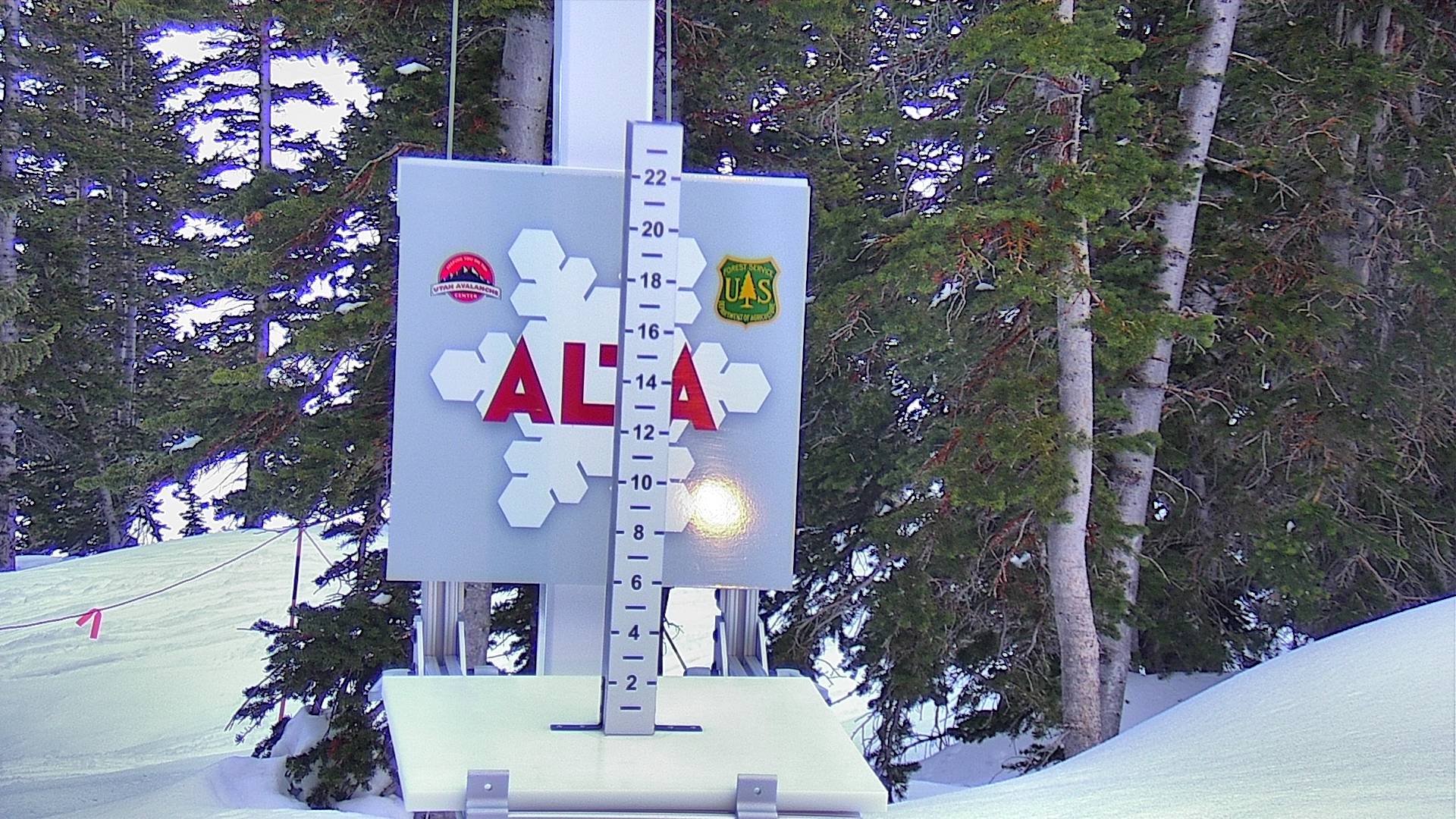
7 Day Snow Totals

24 Hour Snow Totals

Avalanche Report
Avalanche Advisory For No Current Report
Salt Lake Area Mountains
Bottom Line
No Current report.
No Current report.
| Low | Moderate | Considerable | High | Extreme |
|---|
Weather Stations
Alta Base
Elev 8,560 ft
Thu Jan 1 @ 12:00 AM

Temp: Red Line
Wind: Light Gray Area
Wind Gust: Light Blue Area
Wind Dir: Orange Circles
Temp:
35.2º F
Wind Dir:
NW
Wind Spd:
6, gusting to 18
Timeframe:

Weather Station Loading...

Weather Station Loading...

Weather Station Loading...

Weather Station Loading...

Weather Station Loading...
Weather observations are graciously provided and aggregated by Synoptic Data
Weather Forecasts
Alta Ski Resort
Elev 9,433 ft
Thu Apr 2 @ 6:31 PM

Temp: Red Line
Wind: Light Gray Area
Wind Gust: Light Blue Area
Wind Dir: Orange Circles
| Today | Tomorrow | Sunday | Monday | Tuesday | Wednesday | Thursday |
|---|---|---|---|---|---|---|
|
|

|

|

|

|

|

|
|
Chance Snow Showers then Sunny |
Sunny | Sunny | Sunny |
Chance Snow Showers |
Chance Snow Showers |
Snow Showers Likely |
| Hi 29 °F | Hi 40 °F | Hi 48 °F | Hi 51 °F | Hi 53 °F | Hi 51 °F | Hi 46 °F |
| Lo 13 °F | Lo 18 °F | Lo 25 °F | Lo 30 °F | Lo 35 °F | Lo 35 °F | Lo 33 °F |

Weather Forecast Loading...

Weather Forecast Loading...

Weather Forecast Loading...

Weather Forecast Loading...

Weather Forecast Loading...

Weather Forecast Loading...

Weather Forecast Loading...
